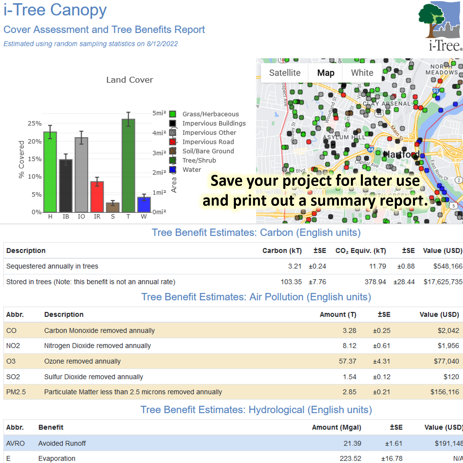
Use this free tool to generate tree canopy and land cover estimates anywhere in the world using predefined boundaries or use your own custom boundaries. Tree canopy benefits related to carbon dioxide, air pollution removal, and stormwater mitigation are available for US and select partner locations.
How to use it:
- New: You can use arrow keys to select a cover class and Ctrl+Enter to save and create new points during the survey process!
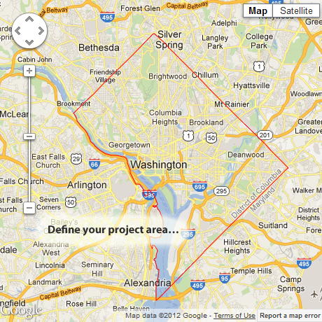
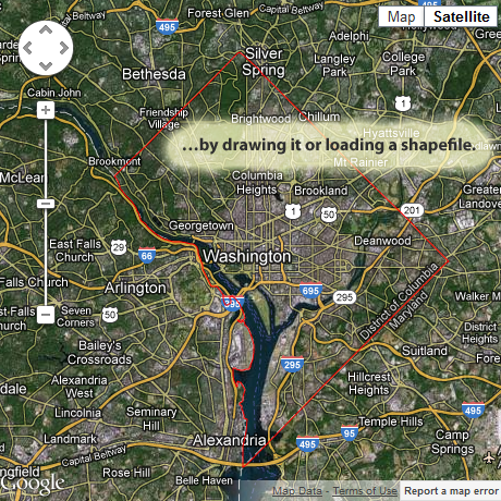
- Select from existing preloaded geographic boundaries (where available), draw your own project area, or load your own boundaries.
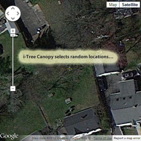
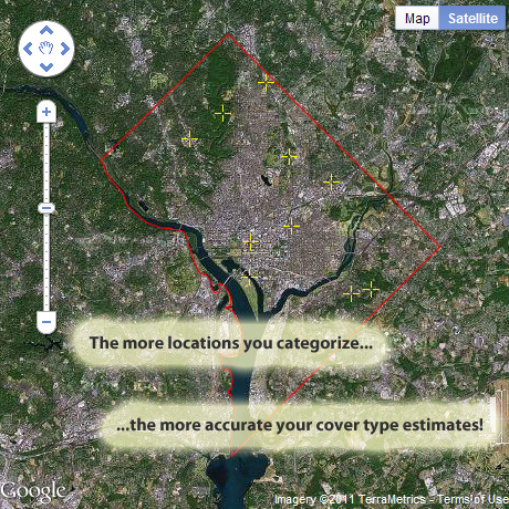
- i-Tree Canopy randomly generates survey points within your project area.
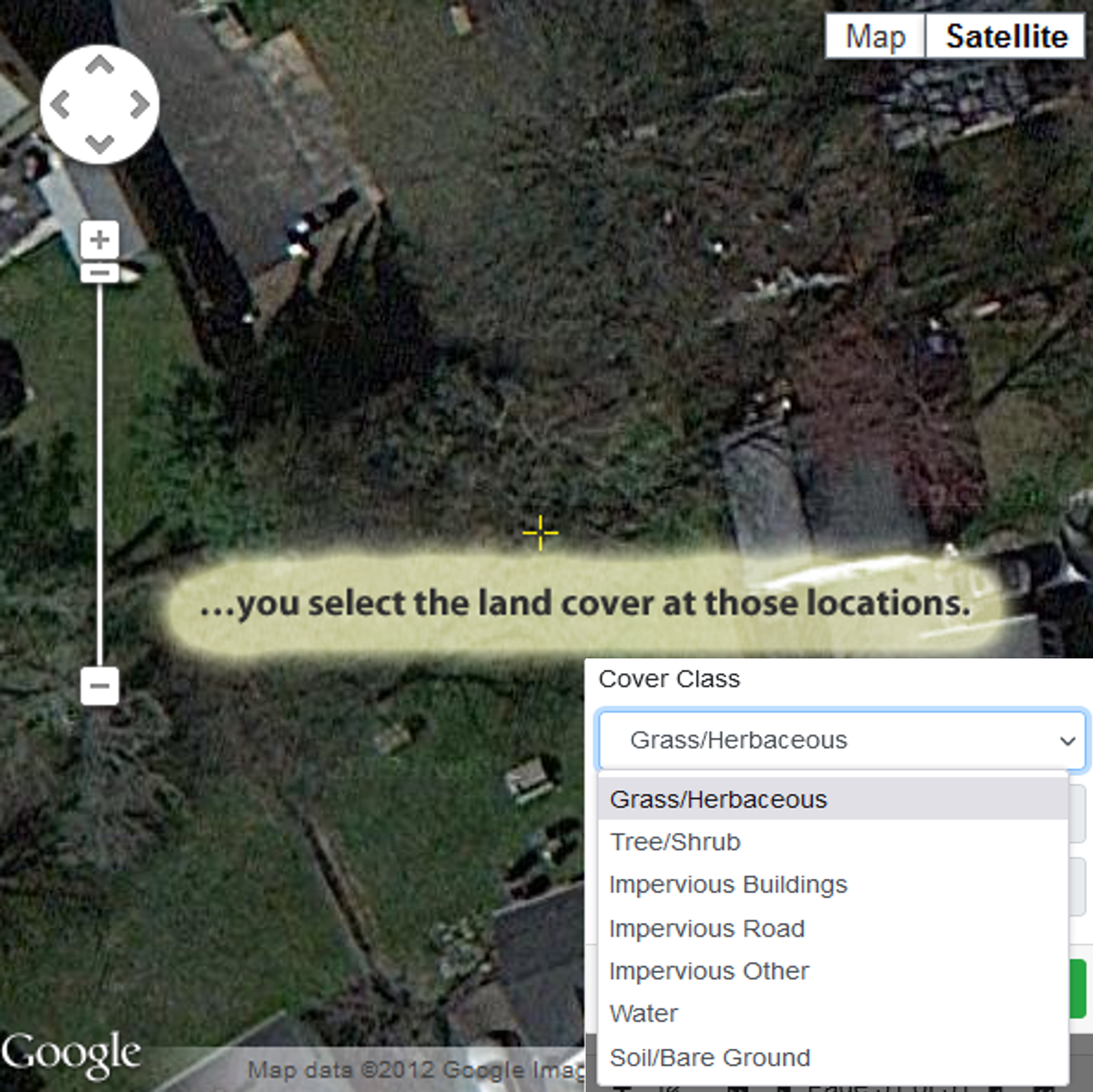
- You review Google Maps aerial imagery at these points and manually classify the cover type.
- The more points you classify, the more precise the cover estimate will be for your project area. Completing 500-1,000 survey points will ensure a standard error of 2% or less.
- You can use i-Tree Canopy to estimate the amounts of a wide variety of customizable land covers, but the tool will only estimate benefits with tree canopy cover.
- Learn how i-Tree Canopy works.
- Video Learning Resources
- i-Tree® does not endorse any specific web-browser, but has been tested with modern versions of Chrome, Firefox, Edge, and Safari. Please use the Feedback form to report issues. i-Tree is a registered trademark.
- Warning: This tool can be very data intensive. It is not recommended for use on metered plans.
- If i-Tree is not yet supported in your region, contact us to explore opportunities for funding collaboration.